
Chilly Quiet Week On Long Island No Storms Through The Weekend

Weather in 5/Joe & Joe Weather Show Latest Podcast
Chilly Quiet Week On Long Island No Storms Through The Weekend
Here we are in the middle of January and outside of the one storm back in mid December we remain snowless. We are under a northwest flow from Eastern Canada and that will be the driver of our weather for the entire week and the weekend. The satellite picture shows some clouds around due to low pressure in Eastern Canada and an upper trough to the west.
SATELLITE

On the regional radar we are seeing some bands of rain and snow that survived the trip from upstate NY. A rain or snow shower can’t be ruled out this evening. Otherwise we should clear out tonight and temperatures by morning will be in the upper 20s to around 30.


The northwest flow will be bringing a slightly colder air mass into the Northeast and Long Island. Tuesday should see sunshine and a few clouds with highs in the lower 40s which will be a few degrees lower than today. A weak cold front will pass Tuesday night and that will set us up for a colder day on Wednesday. We will also see the wind pick up a bit with some sun and clouds. Highs will be in the mid to upper 30s and we will drop to the low 20s at night. Winds will gust 20 to 30 mph at times making it feel colder. Thursday will be the coldest day of the work week with sunshine. Highs will be in the low to mid 30s.
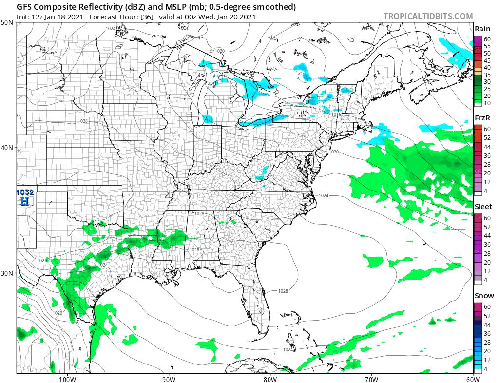
The northwest flow is due to the strong blocking pattern in the Atlantic. Nothing is moving to the northeast due to the northwest flow. That’s why you see the rain across the Gulf States moving southeast as it is being suppressed by the block. A cold front will pass Friday as highs reach the lower 40s with some sun and clouds. Then a cold high builds in for the weekend leaving us dry with sunshine both Saturday and Sunday. Highs will just be in the low to mid 30s.

The blocking pattern has been dominating our weather for the last few weeks. The question for next week is whether the block relaxes enough to allow a low to move east from the Southern Plains and not get squashed to our south in the process. While the GFS model today seems to show a bullish view for snow next week, other models show the block in the Atlantic remaining strong and squashing this system to the south. There are several other systems behind this one and they too will depend on the strength of the block.
BE SURE TO DOWNLOAD THE FREE METEOROLOGIST JOE CIOFFI WEATHER APP &
ANGRY BEN’S FREE WEATHER APP “THE ANGRY WEATHERMAN!
MANY THANKS TO TROPICAL TIDBITS FOR THE USE OF MAPS
Please note that with regards to any severe weather, tropical storms, or hurricanes, should a storm be threatening, please consult your local National Weather Service office or your local government officials about what action you should be taking to protect life and property.
