
Downpours Severe Weather Threat Tonight
Downpours Severe Weather Threat Tonight
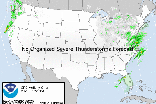
The Storm Prediction Center of the National Weather Service has placed Long Island now under the threat for severe weather this evening and the first part of tonight. The Satellite loop shows tropical moisture moving northward along the coast and at the same time you can see the spinning disturbance swinging across the Great Lakes.
Downpours Severe Weather Threat Tonight
Storm Prediction Center Forecast

There will be some downpours this afternoon across Long Island but they will be isolated in nature. The main threat remains between roughly 5pm to 11pm tonight from west to east. The humidity has noticeably increased today and this is an indicator that the atmosphere is getting juiced up.

Regional Radar shows the thunderstorms out to the west with the front now approaching Western Pennsylvania. There are some ocean downpours that are moving over Central and Eastern Long Island as of 11am but in between there is time. You can figure it will be at least 8 to 10 hours before the line to the west arrives. There will probably be some development in Eastern Pennsylvania this afternoon that will come in sometime this evening ahead of that line. Here is what the HRRR model has for 7pm Tonight
HRRR MODEL FORECAST FOR 7PM FRIDAY

They key will be how strong do they get and whether they maintain their strength. One thing that has changed is the marine conditions. Water temperatures have risen sharply and are now near or above 70. This is usually the threshold where thunderstorms do not fall apart. The other hope is that the downpours are significant rain producers to cut into the rainfall deficit.


Downpours Severe Weather Threat Tonight
Outlook for Saturday
Once these storms clear weather conditions will improve later tonight and there are no changes to the weekend outlook through the 4th of July. Look for sunshine, low humidity, and temperatures reaching into the 80s each day with nights in the comfortable 60s and even some 50s in cool spots. No rain is forecast through Monday night.
FiOS1 News Weather Forecast For Long Island
FiOS1 News Weather Forecast For New Jersey
FiOS1 News Weather Forecast For Hudson Valley
NATIONAL WEATHER SERVICE SNOW FORECASTS
LATEST JOESTRADAMUS ON THE LONG RANGE
Weather App

Don’t be without Meteorologist Joe Cioffi’s weather app. It is really a meteorologist app because you get my forecasts and my analysis and not some automated computer generated forecast based on the GFS model. This is why your app forecast changes every 6 hours. It is model driven with no human input at all. It gives you an icon, a temperature and no insight whatsoever.
It is a complete weather app to suit your forecast needs. All the weather information you need is right on your phone. Android or I-phone, use it to keep track of all the latest weather information and forecasts. This weather app is also free of advertising so you don’t have to worry about security issues with your device. An accurate forecast and no worries that your device is being compromised.
Use it in conjunction with my website and my facebook and twitter and you have complete weather coverage of all the latest weather and the long range outlook. The website has been redone and upgraded. Its easy to use and everything is archived so you can see how well Joe does or doesn’t do when it comes to forecasts and outlooks.
Just click on the google play button or the apple store button on the sidebar for my app which is on My Weather Concierge. Download the app for free. Subscribe to my forecasts on an ad free environment for just 99 cents a month.
Get my forecasts in the palm of your hand for less than the cost of a cup of Joe!

MENTION JOE CIOFFI AND GET A 5% DISCOUNT
