
Long Island Dry All Week Slow Trend To Colder Temperatures

Weather in 5/Joe & Joe Weather Show Latest Podcast
Today and the week ahead will see a dry trend with no major or minor storms for Long Island. It will be a week of upper troughs moving through from time to time. As each one passes it will take us down a stair step decline to colder temperatures by a few degrees each day. The coldest air will arrive Wednesday and last through Friday. Each of these upper troughs will probably produce some clouds but they are all weak and will not produce any precipitation unless we see an odd rain shower pop up or a snow shower once the air gets cold enough. Otherwise today we will see a mix of sun and clouds with a bit of a breeze developing. Highs will be in a range of 40 to 45 this afternoon.
SATELLITE

The satellite picture shows us in some sunshine but the lake effect machine is working and will be working all week long so some of the clouds to the northwest will move through from time to time. Regional radar is showing the lake effect snow action on the New England regional radar. On the Mid Atlantic regional radar an upper trough is moving eastward and producing some snow in the Central Appalachians but none of this is threat here.


Tonight we move to clearing skies and temperatures bottoming Monday morning in the low 30s. Monday sees sun and clouds with highs in the lower 40s. The stair step decline continues for Tuesday though we will have some sunshine. Highs will be close to 40 and by Wednesday morning we will start to see lows in the 20s. Low to mid 30s for highs will be the rule Wednesday through Friday with lows at night in the teens to lower 20s. Each day should feature some sunshine. It is a quiet week ahead for the middle of January.
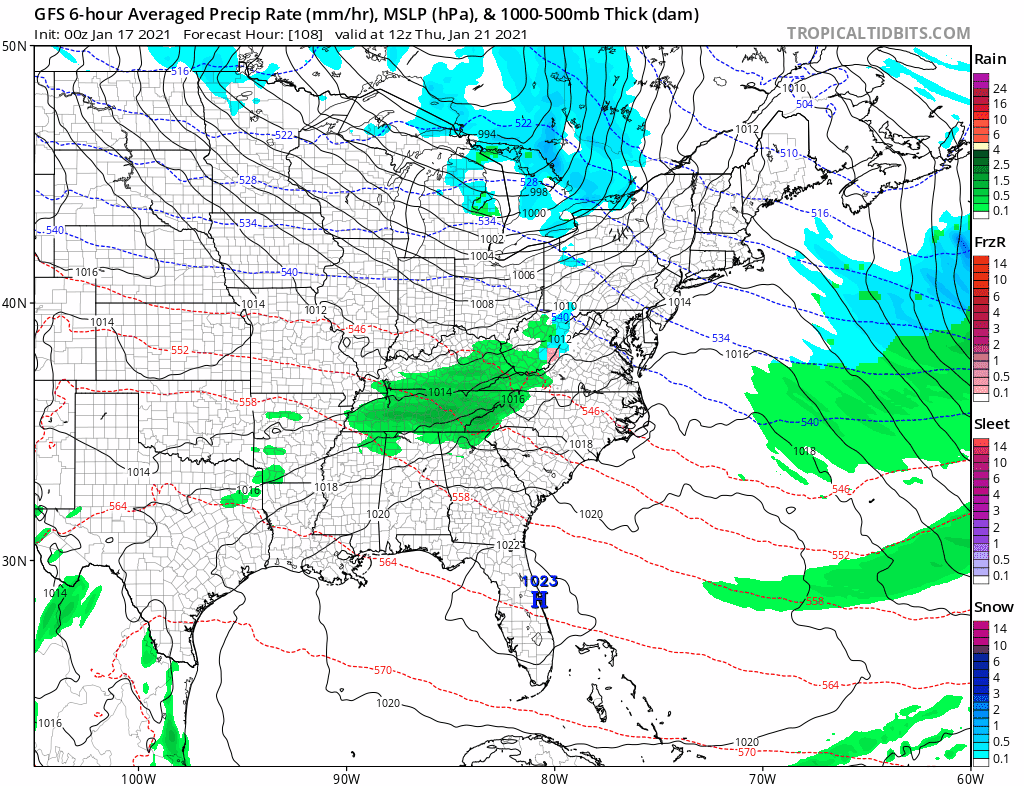
Thanks to the strong blocking signature in the Atlantic, weather systems are weak and getting suppressed to the south. You can see one such system passing well south late this week. There is another system behind this that stands a better chance of heading our way early next week (week of Jan 25th) and we will start taking a closer look at this in the coming days.
BE SURE TO DOWNLOAD THE FREE METEOROLOGIST JOE CIOFFI WEATHER APP &
ANGRY BEN’S FREE WEATHER APP “THE ANGRY WEATHERMAN!
MANY THANKS TO TROPICAL TIDBITS FOR THE USE OF MAPS
Please note that with regards to any severe weather, tropical storms, or hurricanes, should a storm be threatening, please consult your local National Weather Service office or your local government officials about what action you should be taking to protect life and property.
