
Scattered Snow Showers Wednesday Morning Dry Cold Into Monday

Weather in 5/Joe & Joe Weather Show Latest Podcast
Scattered Snow Showers Wednesday Morning Dry Cold Into Monday
Long Island hasn’t seen measurable snow since December 15th-16th. A weak upper trough and cold front will be moving through Wednesday morning and we could see some scattered snow showers for a couple of hours Wednesday morning mainly between 7am and 10am. There is the outside chance there could be a coating of snow in some places but this is weak system and it should not amount to much.
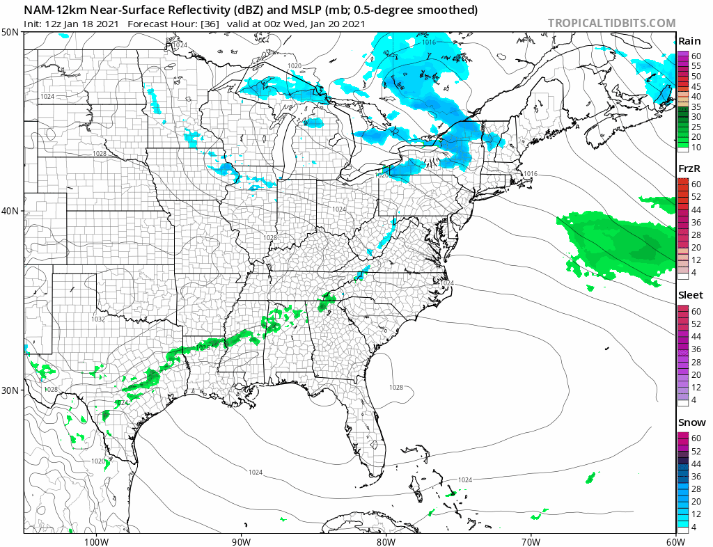
The HRRR model picks up on the snow showers. There is an outside chance we get a quick coating but this should not evolve into any kind of surprise. Low pressure is developing well offshore and this should be all done by 10am.
SATELLITE

In the meantime we have clouds around going into this evening and the radars are picking up on some weak bands of snow showers across Connecticut and back to the Catskills. These should stay north of Long Island. Otherwise clouds will be around tonight with temperatures by morning in the low to mid 30s.


Once the snow showers are done Wednesday morning some sun should break through the clouds Wednesday afternoon. Highs will be in the upper 30s to near 40. Wednesday night we should drop into the mid to upper 20s. Another weak front arrives Thursday with clouds and some sun. Highs will be in the mid to upper 30s. Yet another weak front and the last one passes Friday with sun and clouds. Highs will be in the upper 30s Then we head down to the low to mid 20s Saturday morning. The weekend will be dry and cold with sunshine both Saturday and Sunday. Highs will be in the low to mid 30s both days.
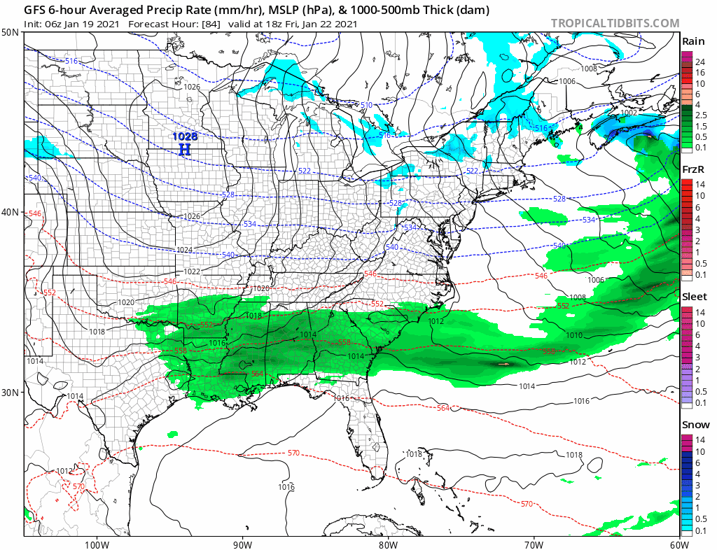
High pressure builds in for the weekend which will be cold and dry with sunshine for both Saturday and Sunday. Most highs will be in the low to mid 30s. Then attention turns to the Southern Plains as low pressure starts to move east. The block is showing signs that it may start relaxing somewhat over the weekend and early next week allowing this low to move east across the Lower Ohio Valley. There should be enough blocking to keep this low on a track to our south but the question will be how far to the south? Models continue to struggle with the block to the east and other changes going on in the Pacific. We would like to see more in coming model runs to determine just exactly what the block is going to do. Weather models this afternoon show the GFS above which brings snow sleet and freezing rain here Monday night into Tuesday. However other models are more suppressed suggesting the block will be strong enough to push this system further south. For now we mention the possibility and we will watch to see whether the block relaxes enough for some winter weather to move early next week.
BE SURE TO DOWNLOAD THE FREE METEOROLOGIST JOE CIOFFI WEATHER APP &
ANGRY BEN’S FREE WEATHER APP “THE ANGRY WEATHERMAN!
MANY THANKS TO TROPICAL TIDBITS FOR THE USE OF MAPS
Please note that with regards to any severe weather, tropical storms, or hurricanes, should a storm be threatening, please consult your local National Weather Service office or your local government officials about what action you should be taking to protect life and property.
